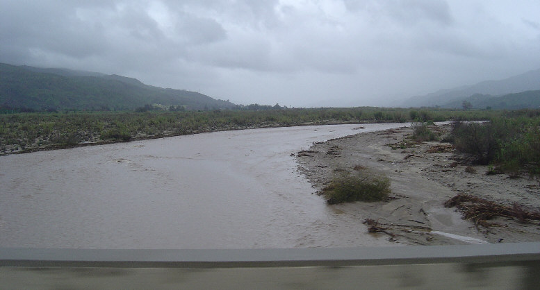
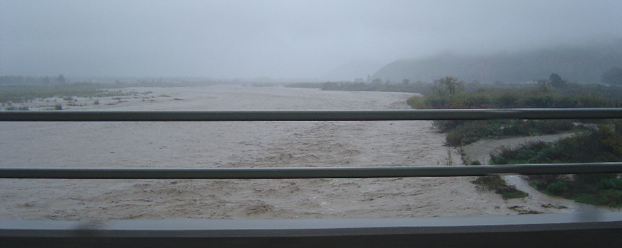
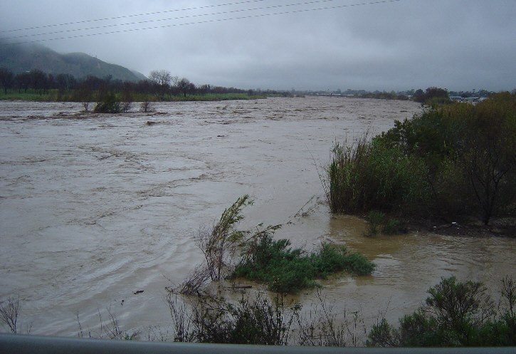
Santa Clara River looking upstream from the bridge into Fillmore on Saturday.
Santa Clara River looking upstream from the bridge
into Fillmore on Saturday.
Arroyo Simi on Sunday around noon.
Looking from the Spring Road Bridge downstream.
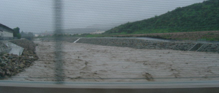
We wanted to see the Santa Clara River on Sunday afternoon.
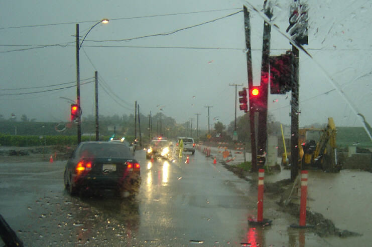
Highway 23 going north from Moorpark to Fillmore was closed,
so we decided to go around on the 118. Heading west,
we had to turn south and go through Somis and around on
Las Posas because the 118 was closed west of Somis. Shown
here, the west end of the closed stretch after we had
gone around to get back on the next leg of the 118.
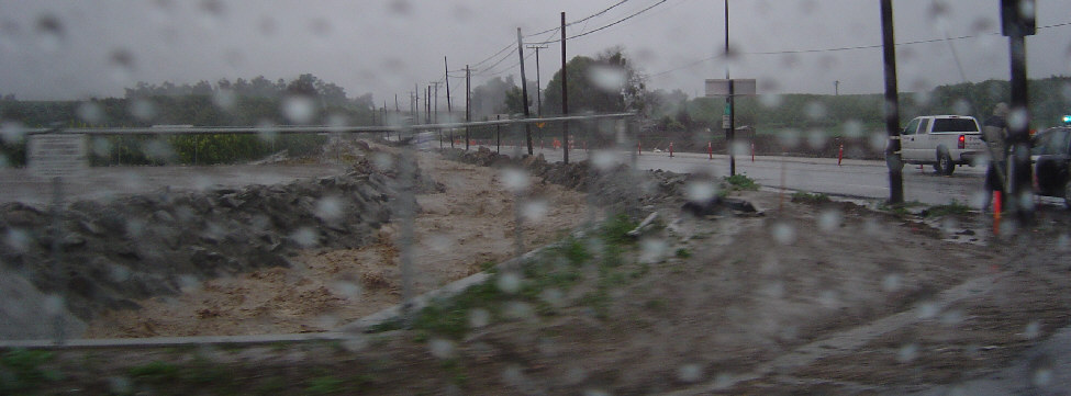
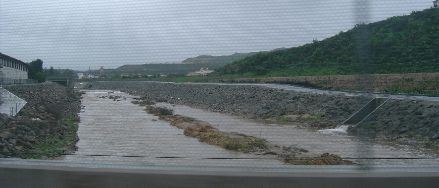
And this flood channel right next to the 118 where it
turns the corner shows a possible reason for closing it.
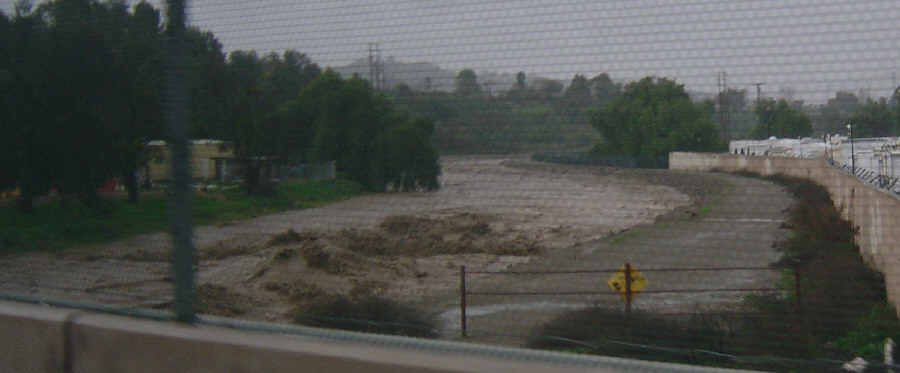
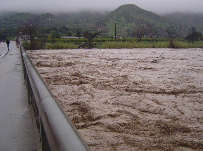
Santa Clara River from the bridge into Saticoy on Sunday.
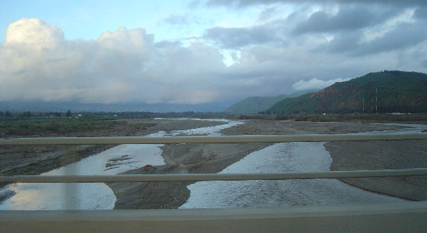
The Santa Clara River is a lot lower when we crossed the same bridge on
January 28th, although water is still visible.
The flow will almost disappear by August.
We found the bridge across the Santa Clara River in
Santa Paula was closed.
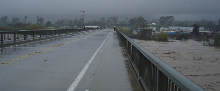
So we parked and walked across the bridge.
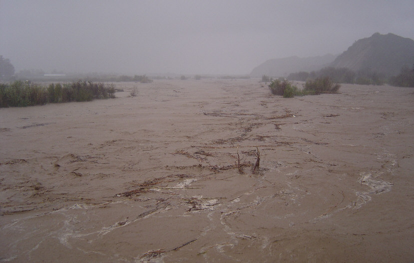
Upstream Santa Clara River from bridge in Santa Paula.
And the view downstream.

The large 'can' is actually silo-sized. I wonder where
it floated from.
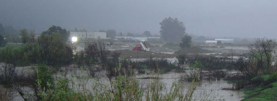
Bright lights were visible and it looked like trucks were
trying to build a makeshift levy.
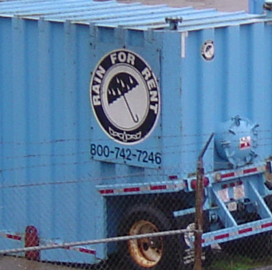
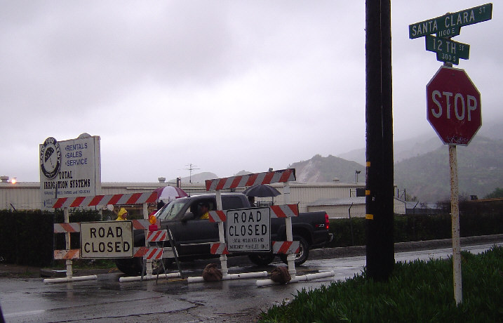
And in case you want more... This "Rain For Rent" facility
is sited right next to the bridge and the river.
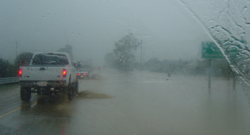
Driving back to Saticoy from Santa Paula, the 126 was
pretty wet. At this point the right lane was covered and
traffic all moved slowly through the water in the left lane.
We hear that the 126 is closed east of Fillmore and Piru
is totally isolated.

Thanks to Glen's drainage project years ago, our yard
is handling the water very well. Moorpark has received
over 7" (as of Monday morning) since Friday.
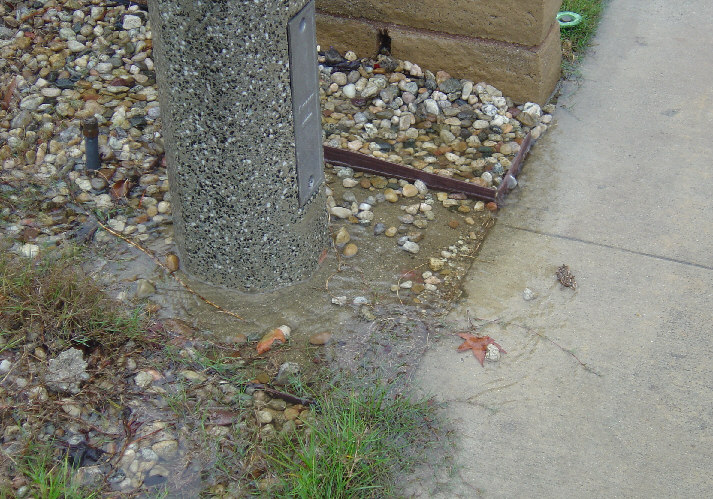
Here's where the drain exits and allows the water to
flow over the sidewalk and into the storm drains.
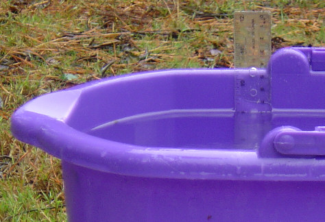
My improvised rain gauge, a somewhat straight-sided bucket. The ruler indicates
9" of water as of 10:15am on Monday. Allowing for the not-quite-straight sides of the bucket, that's still
a lot of rain. I put two of these buckets out, empty, on Friday afternoon, and they're both
reading the same amount of water.
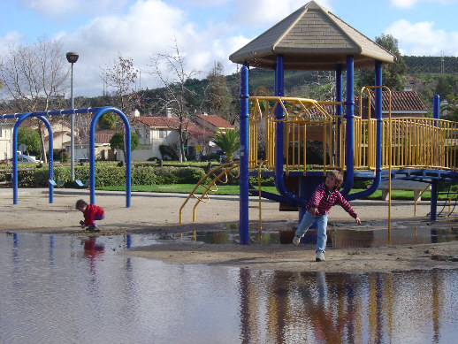
A large puddle remained at Peach Hill Park for a week.
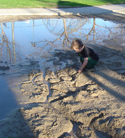
Alan built a set of canals and islands. He called it
Boat Town.
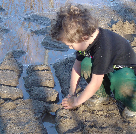
He even constructed a bridge with embedded sticks.
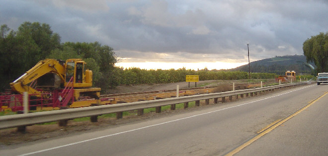
Driving to Santa Barbara on January 28th, we saw repair equipment on the
train tracks next to the 118 near Somis.
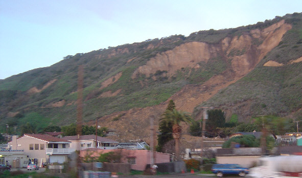
A very poor picture taken as we drive through La Conchita on the
101. You can see one house poking up through the mud that engulfed several homes
and killed 10 people on January 10th.