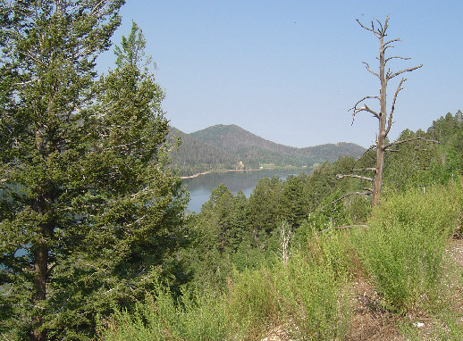
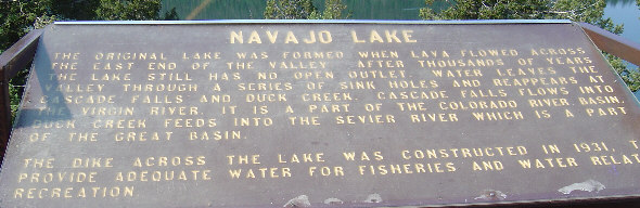
Navajo Lake is one of the scenic treats on this road.
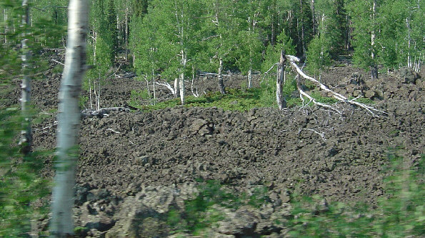
There is also a lot of old lava visible from the road.
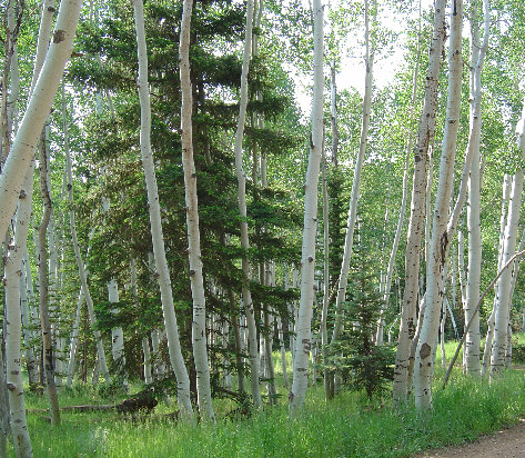
And birch trees.
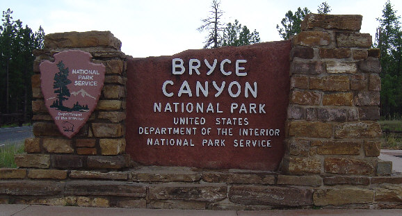
This is taken from behind and to the side of the Bryce sign.
The little stone pyramid is presumably to hold a camera while
your group poses in front of the sign.
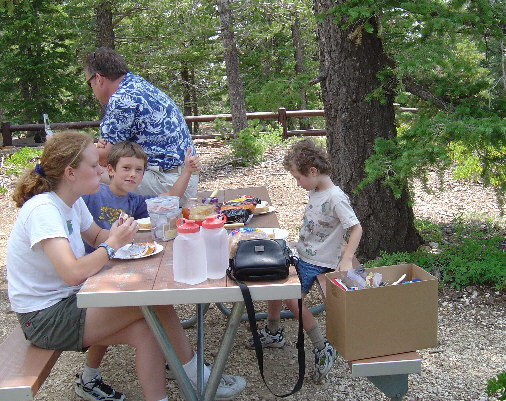
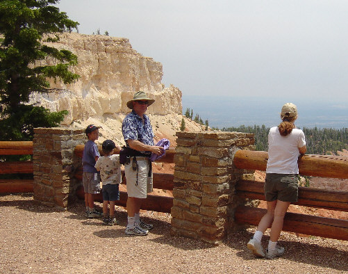
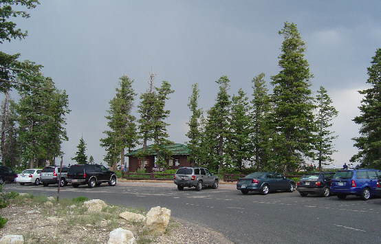
We started by driving to the end of the road
and then picnicking there before doing any trails or
lookouts, which are all on the right side of the road as you
drive back out of the park.
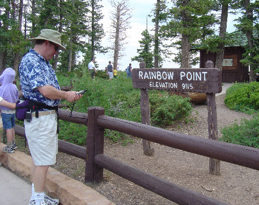
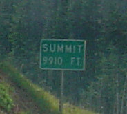
Glen takes this opportunity to check his GPS elevation reading.
The GPS uses barometric pressure to estimate altitude.
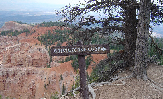
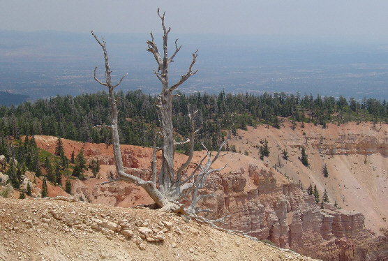
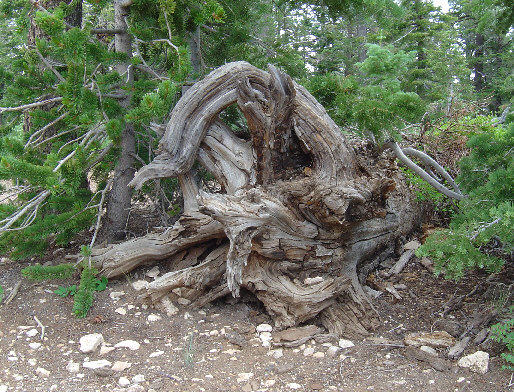
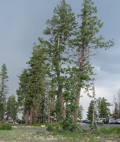
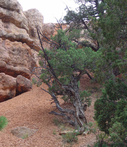
I wanted to hike the Bristlecone loop.
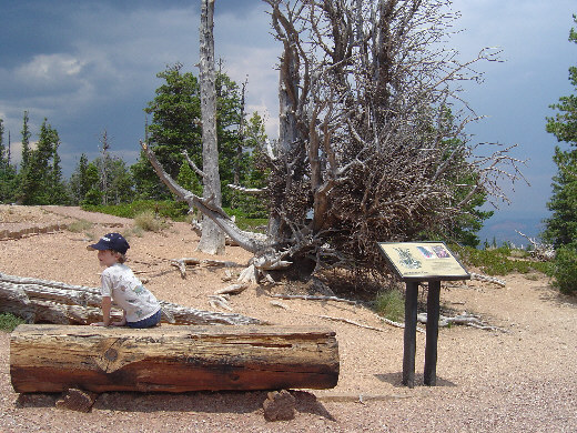
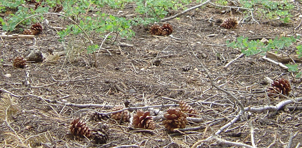
Unfortunately, this is the only bristlecone pine we saw.
There may have been more, but I didn't catch them.
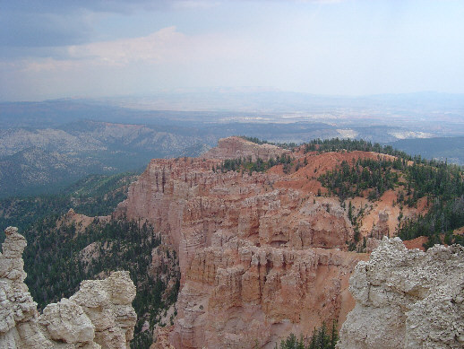
We were fortunate
to finish the hike just before the rain started.
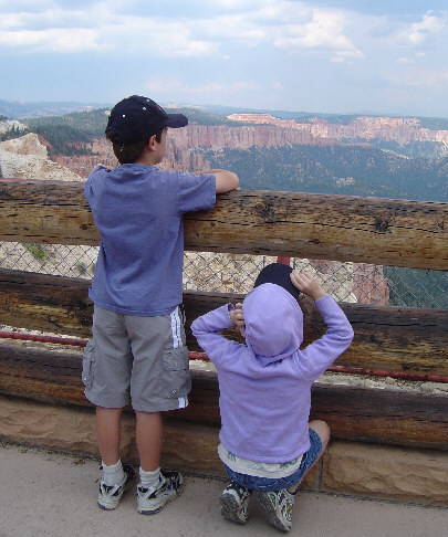
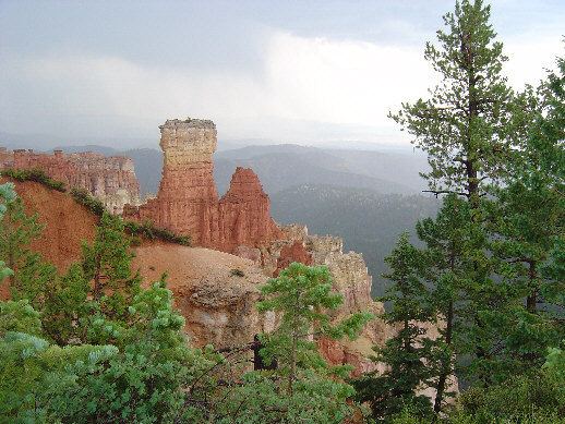
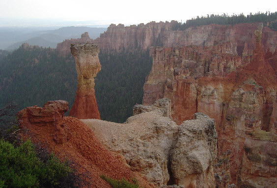
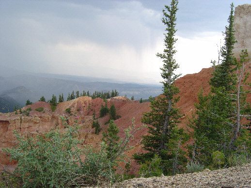
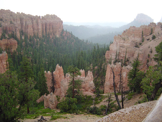
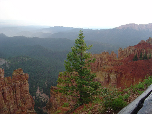
We did all the turn-outs with scenic views in the rain.
The sky was exciting for the pictures, but I got a bit wet.
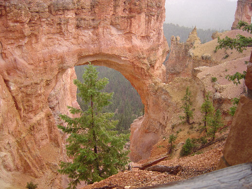
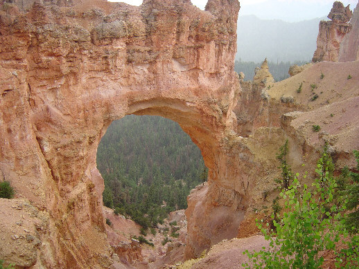
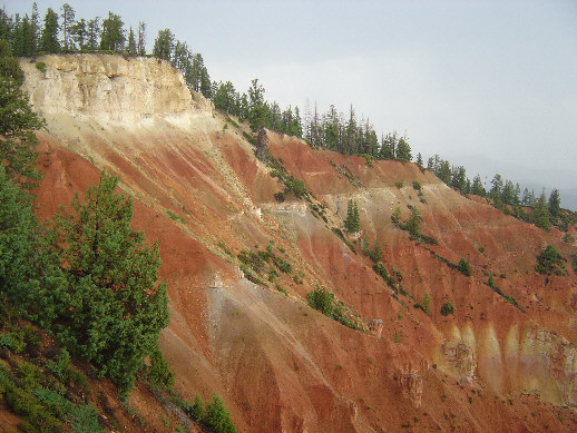
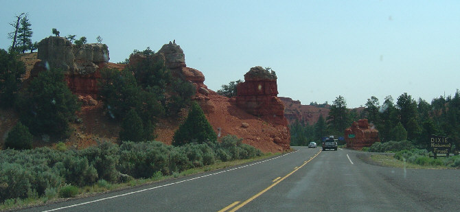
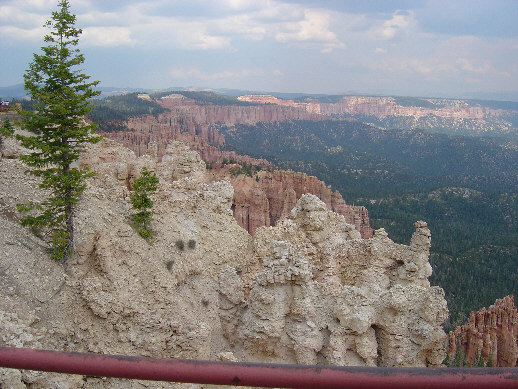
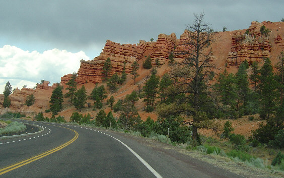
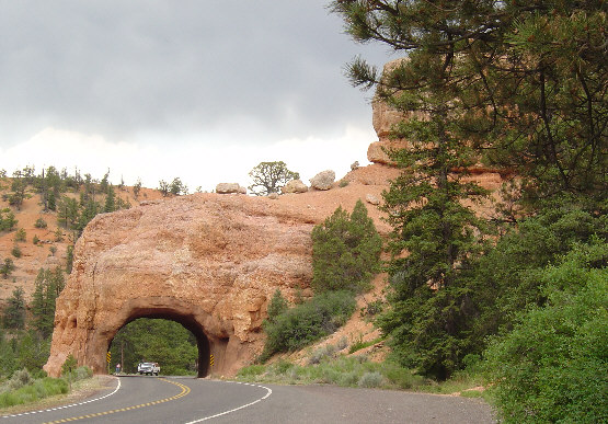
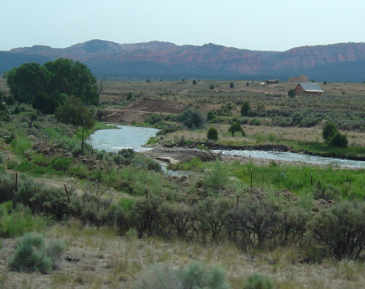
On the way back to I-15, we passed through these
spectacular rocks again. They are apparently part
of Dixie National Forest.
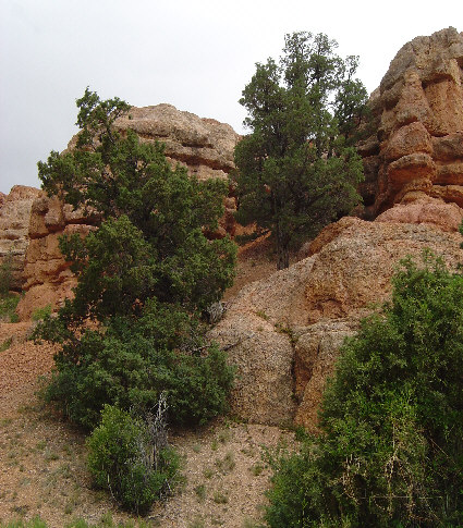
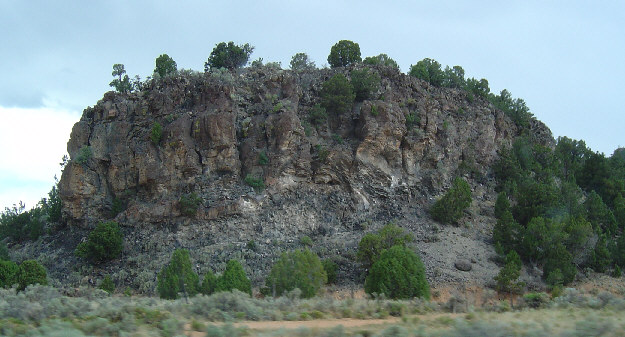
And then, abruptly, the orange color is gone, and we're back
to gray rocks like this.
We followed this creek north for a while, before taking
Route 20 back to the interstate and heading for Logan.