Karen (reunion organizer) had arranged for us to get a tour at the archives at Michigan Tech.
Karen (reunion organizer) had arranged for us to get a tour at the archives
at Michigan Tech.
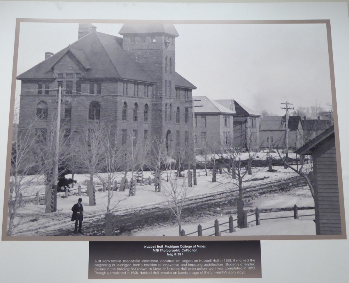
Hubbell Hall was one of the first buildings on the campus in the 1800's. The
college was established by the gift of land from Jay A. Hubbell.
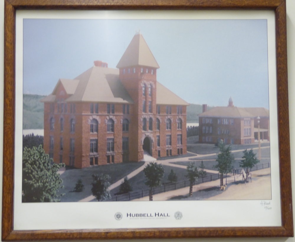
Rendering of Hubbell Hall in color (we would meet the artist later). The
building itself no longer exists, but the icon lives on.
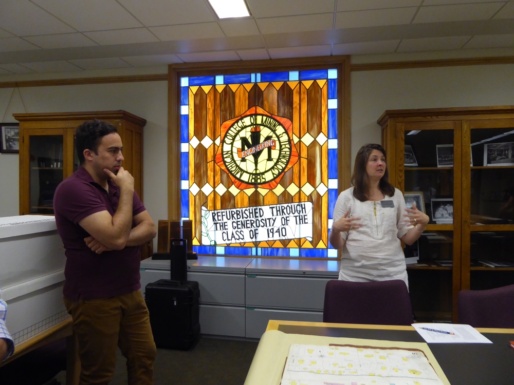
We had a fascinating presentation by these researchers who are creating a
historically-layered GIS, based in part on old insurance company maps.
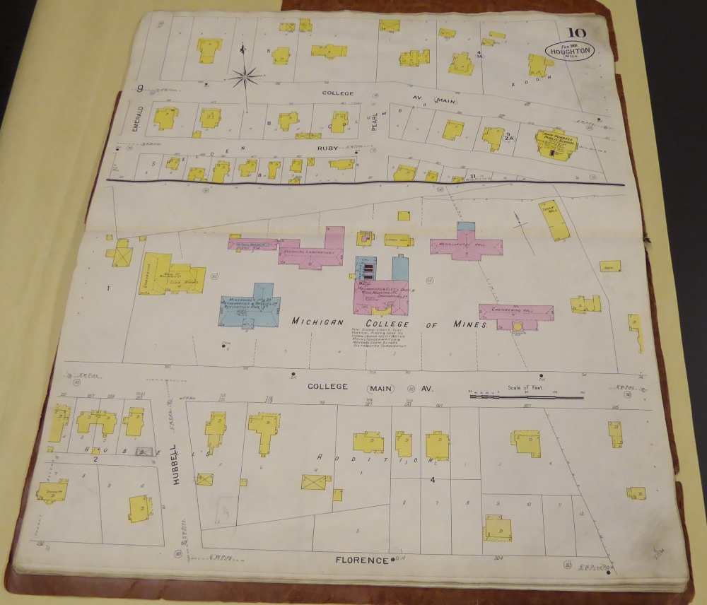
These proprietary maps showed building construction types, such as concrete or wooden.
Insurance companies would use this info to set rates. Now that data is being combined
with census data and other sources to create the ability to correlate
disparate information and study historical trends.
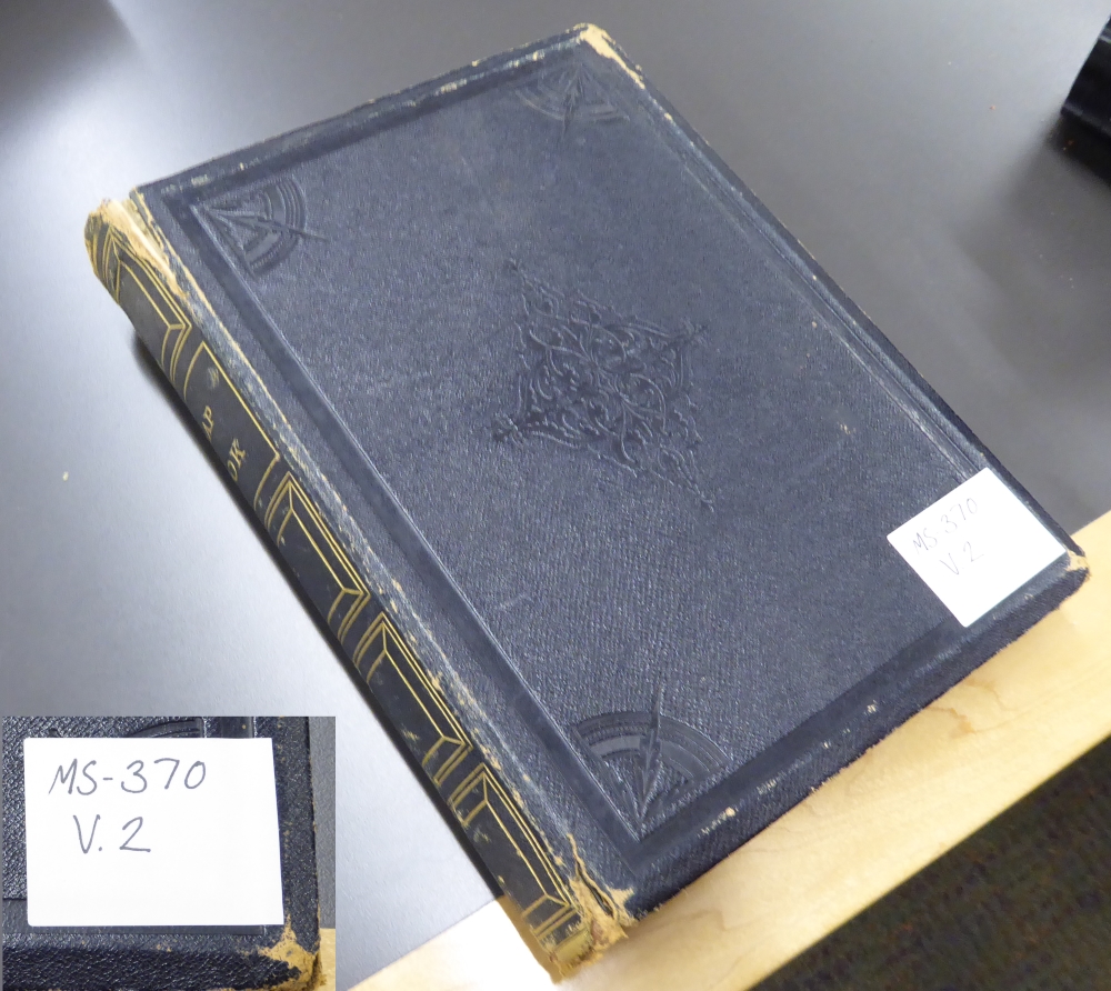
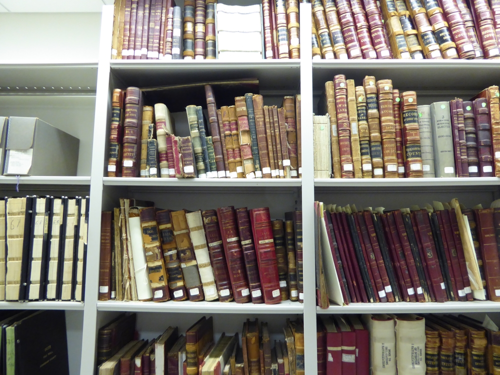
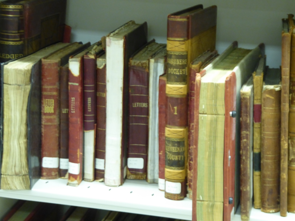
The archives contain a wealth of information, including these scrapbooks of
newspaper articles about Jay Hubbell.
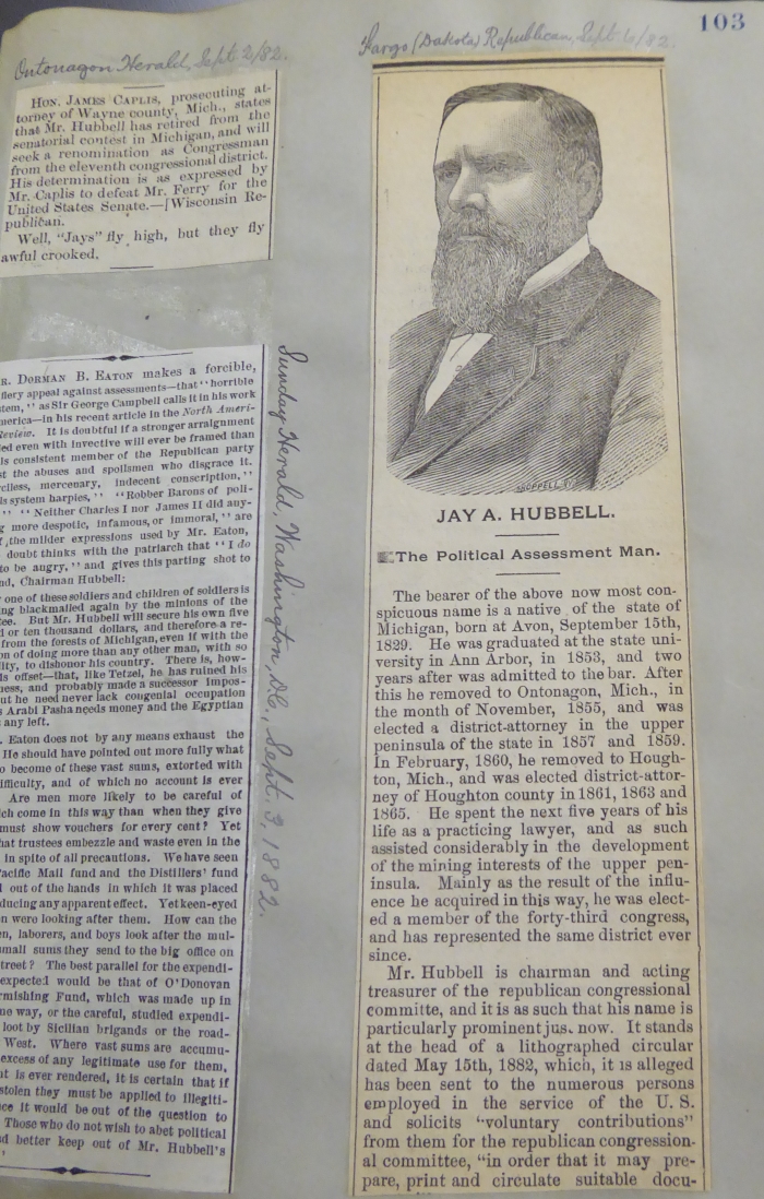
A random sample page from this book: Jay A. Hubbell was also a congressman
representing this part of Michigan.
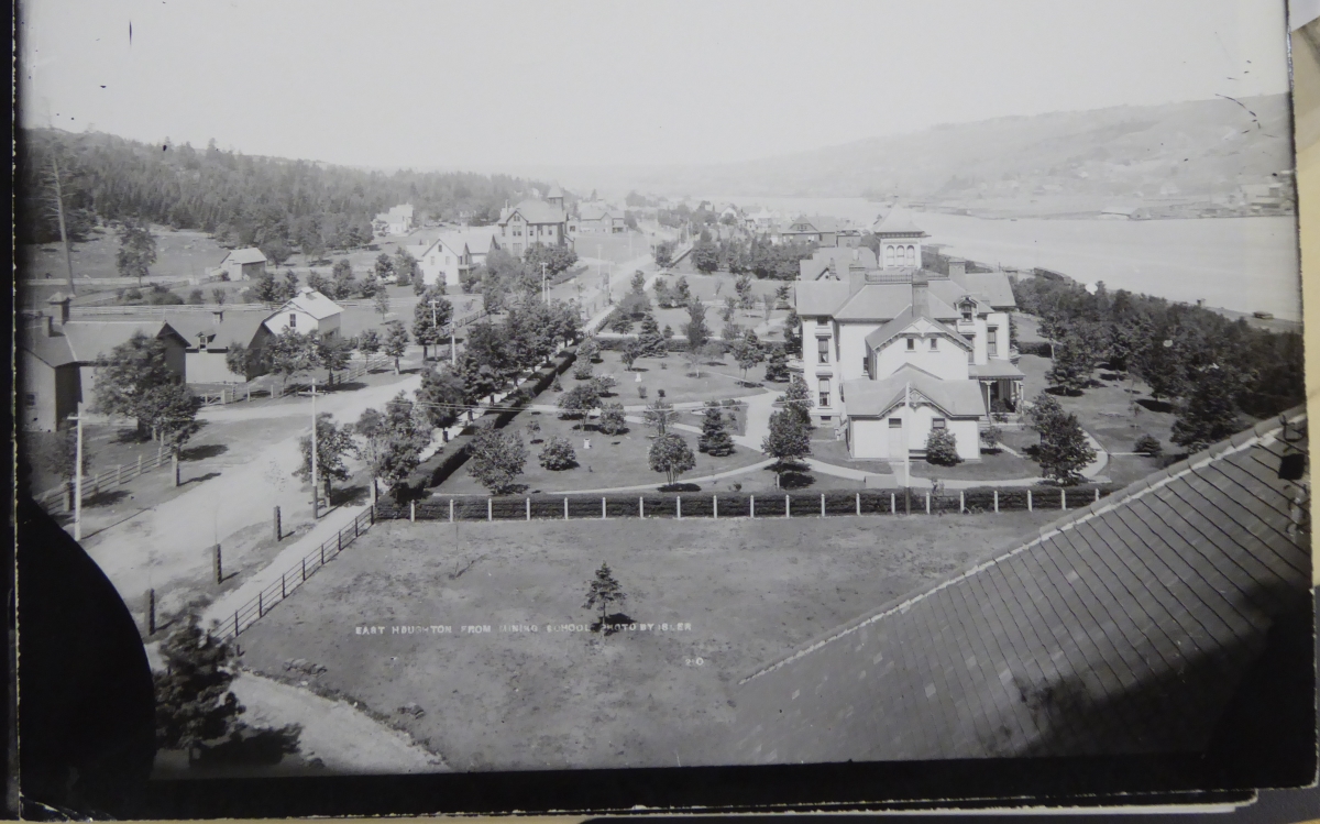
early photo of East Houghton, showing Hubbell Hall.
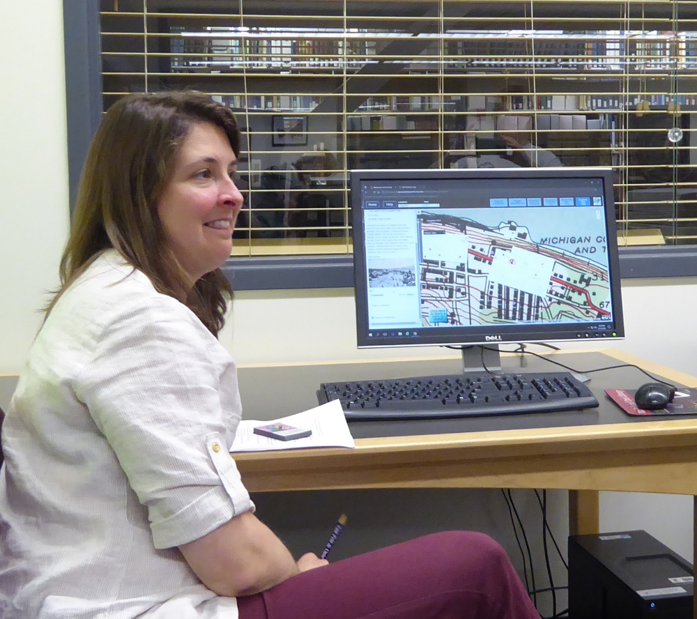
a demo of the GIS system and how you can drill down historically for a given
location. This makes all this archived data so much more accessible and useful.
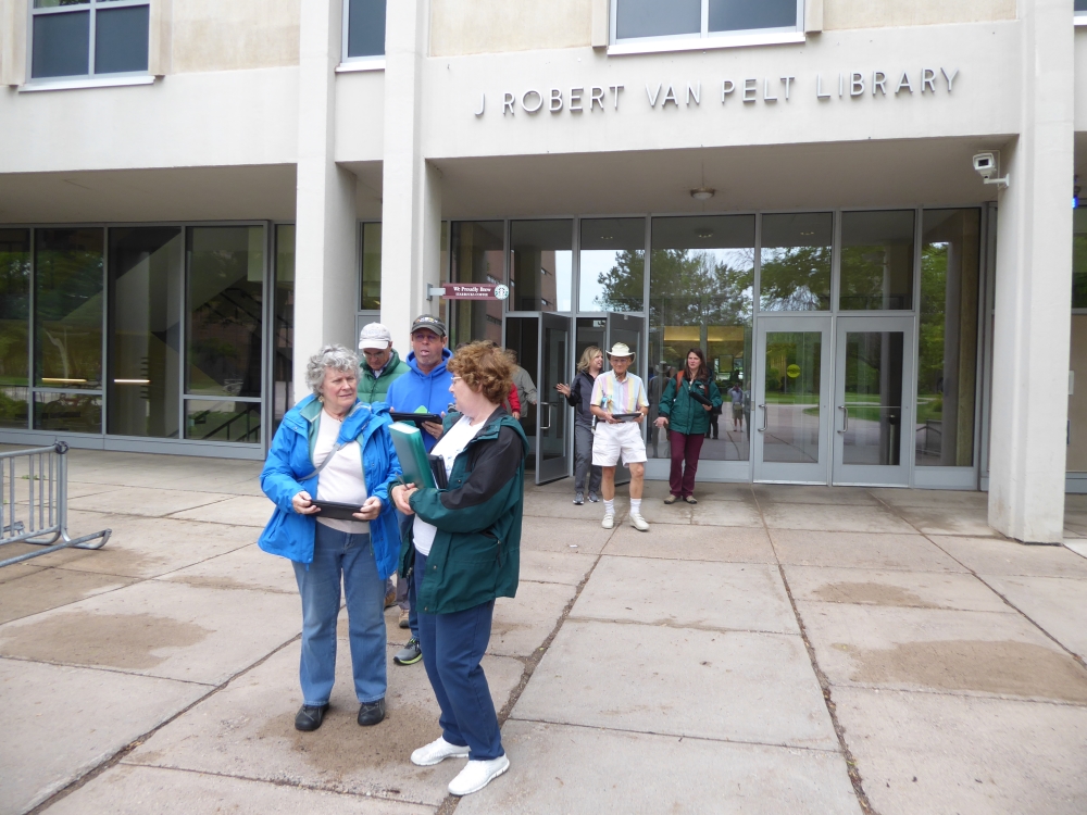
outside the library, ready to try out the GIS on tablets as we stroll around campus.
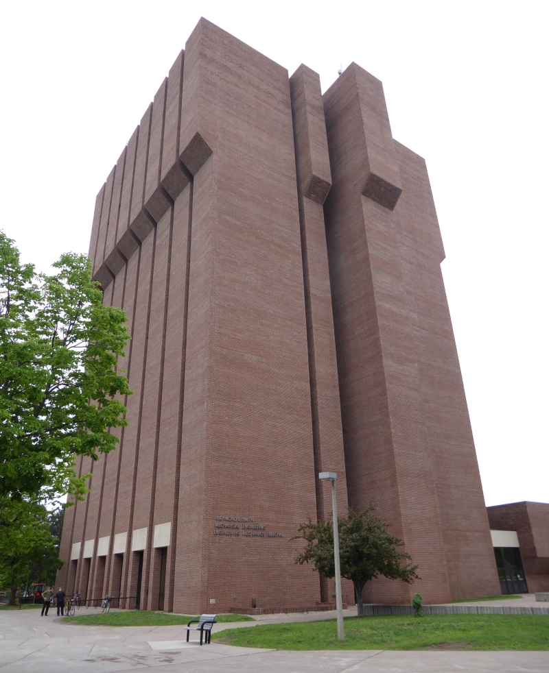
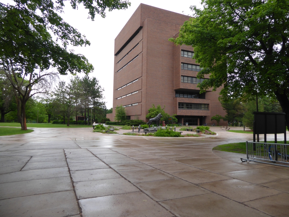
The more modern engineering building that replaced Hubbell Hall around 1970.